Daily and regional forecasts
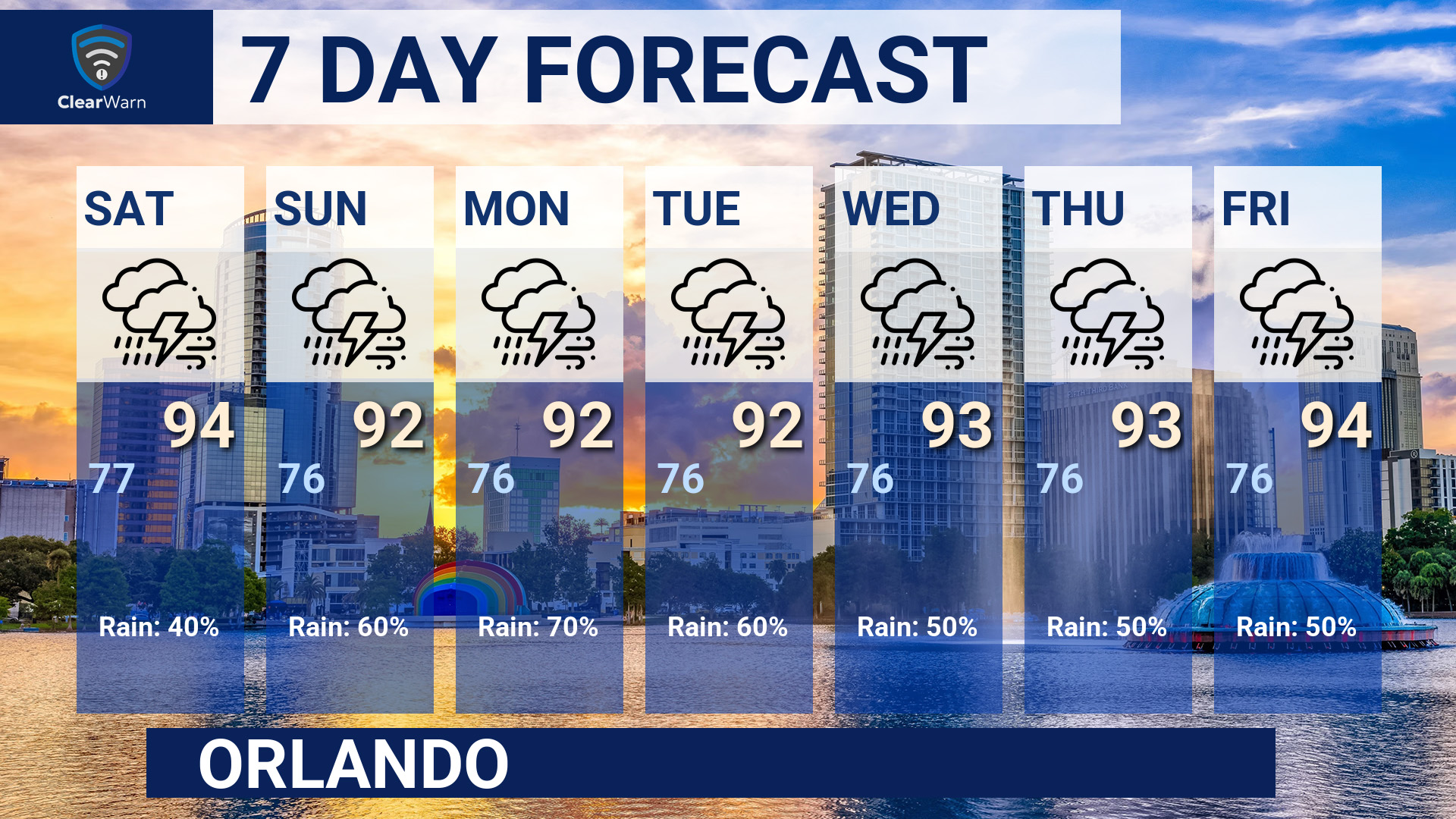
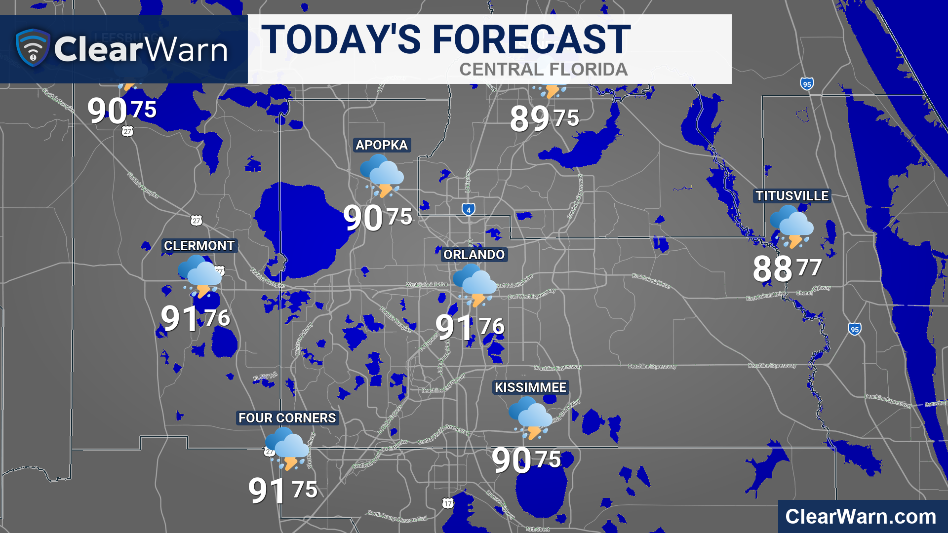
Build one-city and regional forecasts with temperatures, conditions, and official forecast data.
Create still images and motion graphics for daily forecasts, live radar, satellite imagery, severe weather outlooks, tropical systems, and active alerts.
Build one-city and regional forecasts with temperatures, conditions, and official forecast data.
Choose the map area, history, city labels, lightning treatment, and output format.
Produce current satellite views and weather imagery for the places your audience follows.
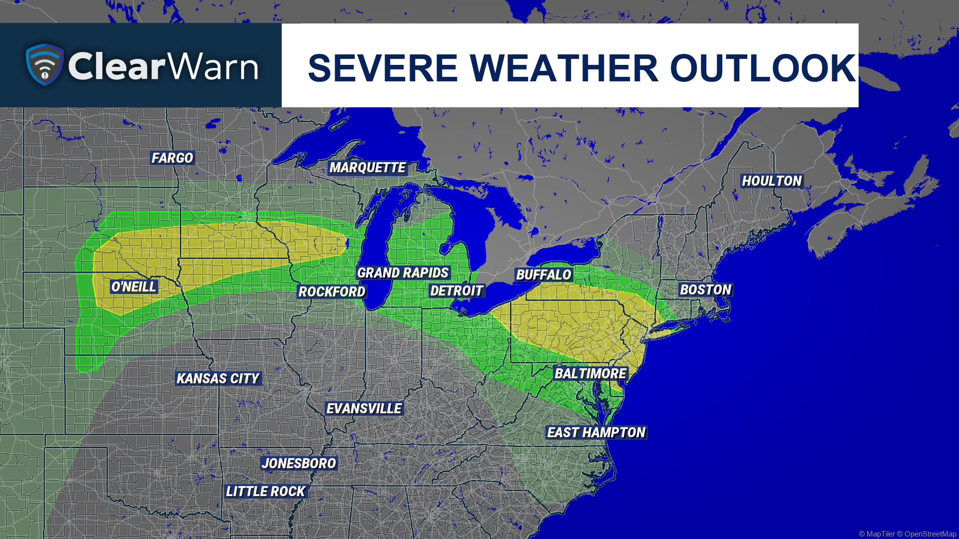
Turn severe weather outlooks and active warnings into clear, local, ready-to-publish graphics.
Build a consistent stream of branded weather graphics using current forecast and observational data.
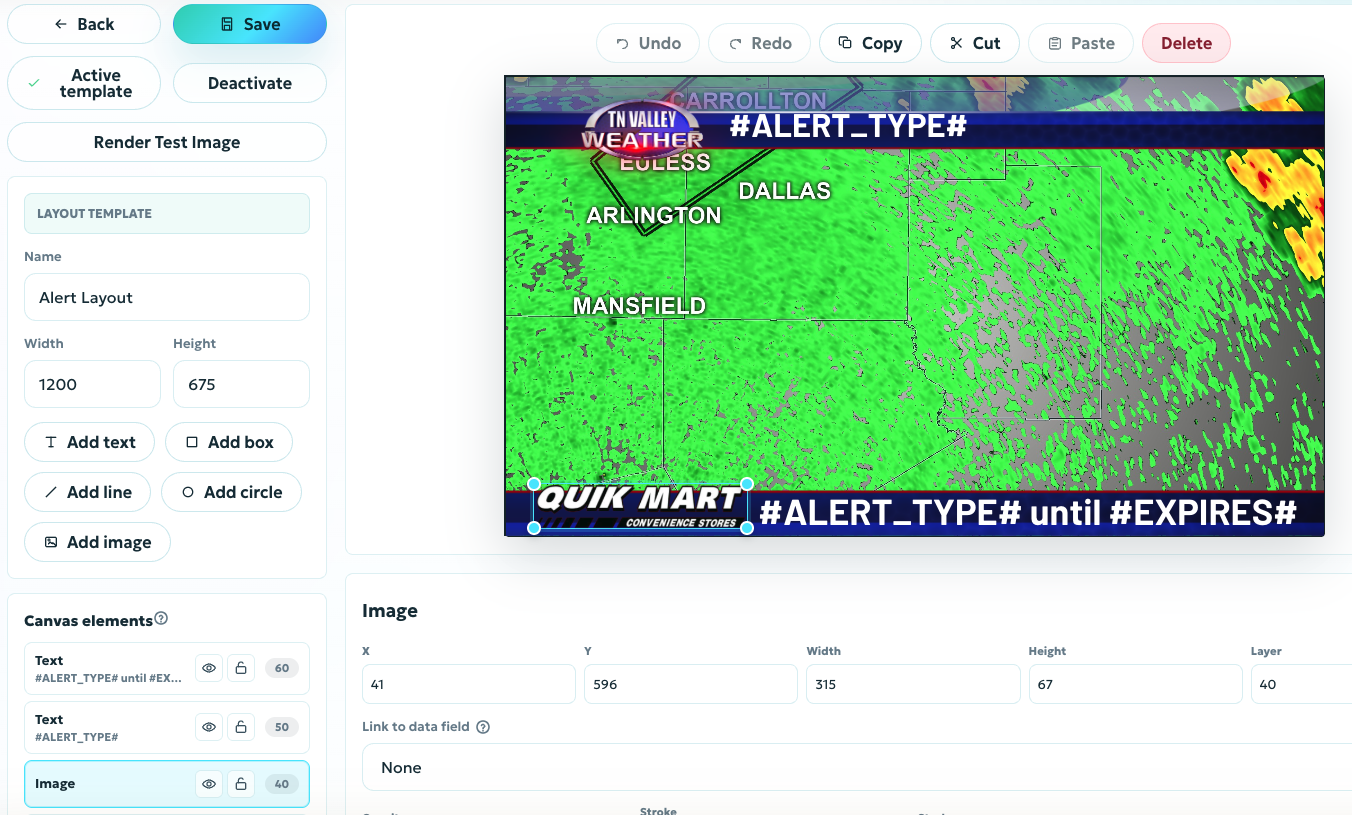
Use your own logo, type, colors, map framing, sponsor space, and visual hierarchy. SmartLayouts let the finished graphic fit the brand your audience already knows.
See how SmartLayouts workSave graphic templates for the settings you use often, then run them manually or connect them to an automation.
Explore Automation